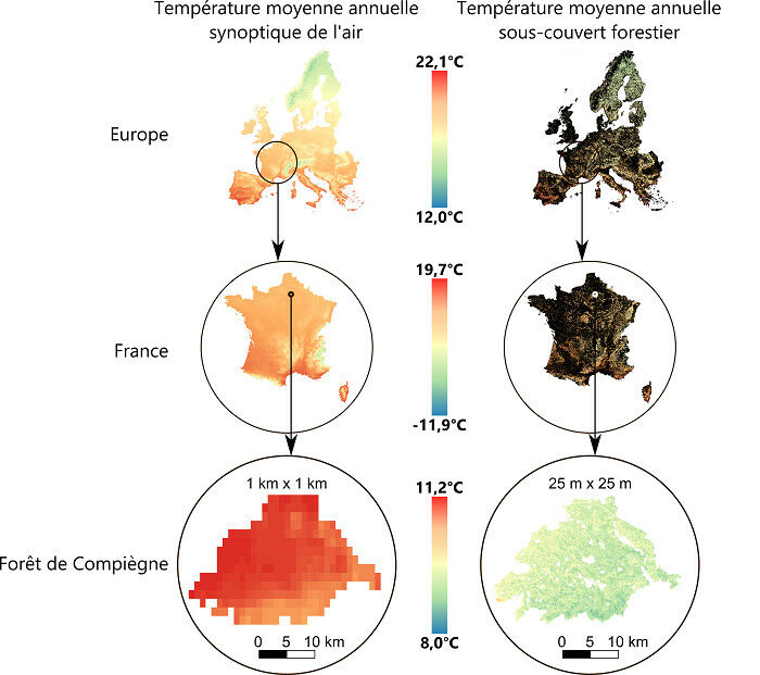
 Maps comparing mean annual free-air and sub-canopy temperatures. Left : mean annual temperatures as predicted by spatial modelling of climatological series for the period 1970-2000, from conventional weather stations © WorldClim, www.worldclim.org Right : mean annual sub-canopy temperatures. On the maps of Europe and France on the right, the areas in black correspond to non-forested areas. The last zooming window shows the spatial predictions of sub-canopy temperatures over the whole state forest of Compiègne, in the Oise department (north of Paris), covering an area of 14,357 ha (144 km2).
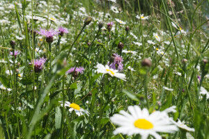
Maps comparing mean annual free-air and sub-canopy temperatures. Left : mean annual temperatures as predicted by spatial modelling of climatological series for the period 1970-2000, from conventional weather stations © WorldClim, www.worldclim.org Right : mean annual sub-canopy temperatures. On the maps of Europe and France on the right, the areas in black correspond to non-forested areas. The last zooming window shows the spatial predictions of sub-canopy temperatures over the whole state forest of Compiègne, in the Oise department (north of Paris), covering an area of 14,357 ha (144 km2). Stef Haesen / Koenraad Van Meerbeek - To cool off in summer, there's nothing better than a walk in the woods. Trees act as a buffer that cools the air beneath their foliage in summer and warms it in winter. This phenomenon is caused not only by the protection that the forest canopy provides, but also by the transpiration of trees in summer: trees absorb cooler water from the soil, and this water is then transported up to the leaves, ending up in the atmosphere and thus cooling the surrounding air.
TO READ THIS ARTICLE, CREATE YOUR ACCOUNT
And extend your reading, free of charge and with no commitment.
Your Benefits
- Access to all content
- Receive newsmails for news and jobs
- Post ads