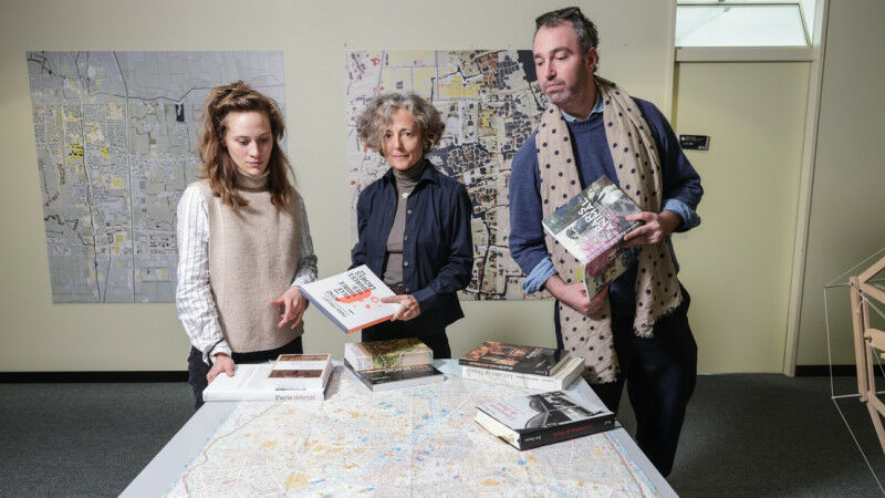
 Joanne Nussbaum, on the left, Paola Viganò, center, Ben Gitai, on the right.
Joanne Nussbaum, on the left, Paola Viganò, center, Ben Gitai, on the right. EPFL / Alain Herzog EPFL's Habitat Research Center has created the first atlas of Paris landscapes, after winning a request for proposals by the French government and the City of Paris. The atlas is the result of a highly innovative approach to urban research, as it includes not just maps but also testimonials from local residents. The word "atlas" brings to mind a large, beautifully illustrated book with numerous maps that, taken together, paint a detailed picture of a region at a given point in time - an encyclopedia of the region, so to speak. That's certainly the case for The Paris Atlas of Landscapes , developed by EPFL's Habitat Research Center (HRC) over the course of a year. But this atlas goes even further, as it also explores how Paris residents feel about their city. It's based on the definition of a landscape adopted at the Council of Europe Landscape Convention in Florence in 2000: "An area, as perceived by people, whose character is the result of the action and interaction of natural and/or human factors." This implies that residents should play an active role - on par with that of policymakers - in shaping, protecting and enhancing their urban landscape.
TO READ THIS ARTICLE, CREATE YOUR ACCOUNT
And extend your reading, free of charge and with no commitment.
Your Benefits
- Access to all content
- Receive newsmails for news and jobs
- Post ads