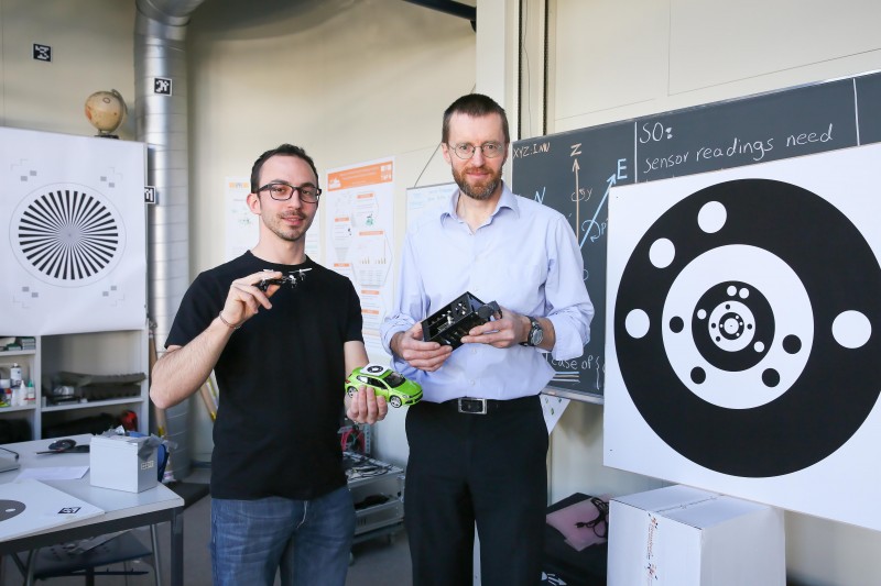
 Davide Cucci and Jan Skaloud, from Geodetic Engineering Laboratory.
EPFL researchers have developed the terrestrial and aerial components of a European spatial and urban mapping project. Developing a good, high-resolution 3D map is a long, tedious and expensive process: a vehicle scans the surrounding environment from ground level up to the top of roofs or trees, while an aerial perspective is added using a drone. But a new approach, in which the terrestrial vehicle and drone are operated in tandem, has now been developed as part of a European project called mapKITE. EPFL researchers are involved in the consortium,* which is funded by the H2020 program, and have designed some of the key components of this breakthrough technology. These include technical features - such as the target - that allow the drone to 'latch' virtually onto the vehicle. One look at the current approach to 3D mapping shows why combining terrestrial and aerial techniques makes sense. For example, to map out a long corridor like a road, river or railway, the drone has to work segment by segment, following markers on the ground.
TO READ THIS ARTICLE, CREATE YOUR ACCOUNT
And extend your reading, free of charge and with no commitment.
Your Benefits
- Access to all content
- Receive newsmails for news and jobs
- Post ads