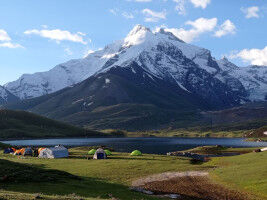
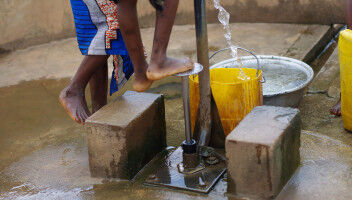
National Geographic Society and Utrecht University Launch World Water Map
Today, the National Geographic Society launched the World Water Map as part of its five-year World Freshwater Initiative to better understand developing freshwater shortages around the world and inspire sustainable action. The Map was created by the National Geographic Society in cooperation with Utrecht University and Esri to identify water availability hotspots, visualize global freshwater supply and demand, and tell the story of how people use water. The Map is based on one of the most advanced open-source models to track water availability in every part of the world. The Map provides an interactive view of the sectors of water use; how much water people consume for agricultural, industrial, and household use; and what's left for nature. The Map, which builds on hydrological models made by Utrecht University, consists of over 40 years of historical data and will be updated periodically to monitor changes in water availability and demand. Humanity is facing a water availability crisis characterized by too much water in some places and not enough in others. Half of the world's population could be living in areas facing water scarcity by as early as 2025 and this is elevated among marginalized communities, according to UN Water.