State of Knowledge: Climate Change in Puget Sound UW Climate Impacts Group
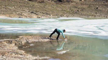
The Puget Sound watershed - the area west of the Cascades Mountains that stretches from the state capitol up to the Canadian border - is warming. It also faces rising seas, heavier downpours, larger and more frequent floods, more sediment in its rivers, less snow, and hotter, drier summer streams. A new report by the University of Washington synthesizes all the relevant research about the future of the Puget Sound region to paint a picture of what to expect in the coming decades, and how best to prepare for that future. "When you look at the projected changes, it's dramatic,” said lead author Guillaume Mauger , a research scientist at the UW Climate Impacts Group. "This report provides a single resource for people to look at what's coming and think about how to adapt. Ten UW authors contributed to the report, which draws on published papers, agency studies and regional adaptation efforts now taking place. This first major update since 2005 includes new topics such as sediment transport and landslides, more details on salmon impacts, ocean acidification and flooding, and more specifics about how different parts of the region will change.
TO READ THIS ARTICLE, CREATE YOUR ACCOUNT
And extend your reading, free of charge and with no commitment.