Arctic storm on 14 August 2020 between Greenland, Svalbard and Norway, as seen by NASA’s Terra satellite (MODIS instrument). Some of the clouds in these cyclones, known as mixed-phase clouds (containing water in both the solid and liquid state), are not well understood, and are poorly represented in models used for weather prediction and for simulating climate change.
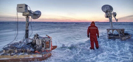
Arctic storm on 14 August 2020 between Greenland, Svalbard and Norway, as seen by NASA's Terra satellite (MODIS instrument). Some of the clouds in these cyclones, known as mixed-phase clouds (containing water in both the solid and liquid state), are not well understood, and are poorly represented in models used for weather prediction and for simulating climate change. NASA Worldview - In August 2022, two research aircraft equipped as airborne laboratories will fly over the Arctic Ocean on the lookout for polar cyclones. The goal is to better understand their dynamics and their connection with sea-ice loss, and to improve the way in which they are represented in weather prediction and climate models. Arctic cyclones are large-scale lows, typically a few thousand kilometres in diameter, which for the most part move around beyond the Arctic Circle, lasting for up to one to two weeks. Much less extensively studied than their temperate-latitude counterparts and potentially more difficult to predict, they are thought to cause rapid sea-ice loss events in summer. In turn, such events may have an impact on the development of Arctic cyclones.
TO READ THIS ARTICLE, CREATE YOUR ACCOUNT
And extend your reading, free of charge and with no commitment.
Your Benefits
- Access to all content
- Receive newsmails for news and jobs
- Post ads