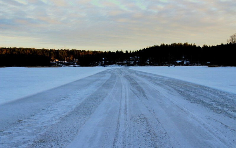
(© Image: Flickr) Sustainability of ice roads at risk due to climate change By A new study found that measuring the time it takes for a radar pulse to travel from a satellite to the sea surface and back again can reveal the thickness of river ice and dates when it is safe to travel on ice roads and bridges in arctic regions. Many northern communities in Canada rely on the network of ice roads built on frozen lakes and rivers to transport goods and for food security. However, the sustainability of these roads is at risk due to climate warming causing shorter ice seasons and thinner ice. Researchers from the University of Waterloo, in collaboration with colleagues from France and Russia, used the technique called radar altimetry, which also helps in understanding the ways frozen rivers enhance interconnection and supplies to various cities with ice covers. River ice is a major component of the planet's ecosystem that plays a key role in the functioning of the aquatic system and affects the operation of hydropower stations as well as construction and navigation. "Many remote villages that are linked in summer to supply centres only via expensive aircraft or boat transport can directly access the primary land transport arteries built on frozen ground and lake or river ice," said Claude Duguay, professor of Geography and Environmental Management at Waterloo.
TO READ THIS ARTICLE, CREATE YOUR ACCOUNT
And extend your reading, free of charge and with no commitment.
Your Benefits
- Access to all content
- Receive newsmails for news and jobs
- Post ads